eyefortransport
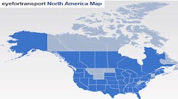
The 2014 North American 3PL Warehousing map provides an overarching outlook on warehousing space across the continent. Whether looking at specific warehousing space available for strategic decision making, finding specific 3PL Warehouses or understanding the overarching infrastructure of the logistics industry, this map is designed to increase visibility through interactivity. Data are plotted directly onto a Google Map base. It has over 1000+ locations plotted and allows users to add their own locations – using the submission form.
Latest from Global Supply Chain
Latest from Global Supply Chain


